Nature beckons along more than 13 miles of Stanford trails
The rocks and shells, the frogs and lilies always tell the absolute truth.
— David Starr Jordan
One of Stanford’s defining characteristics is the vast swath of land on which it sits. The 8,180-acre farm that became Stanford University made room for interconnecting quads that foster unprecedented collaboration among people, disciplines and ideas. It made room for research parks and other properties whose stewardship has helped fuel university endeavors for 125 years.
It holds considerable beauty in its own right, an ecological and recreational resource that was cherished from the start.
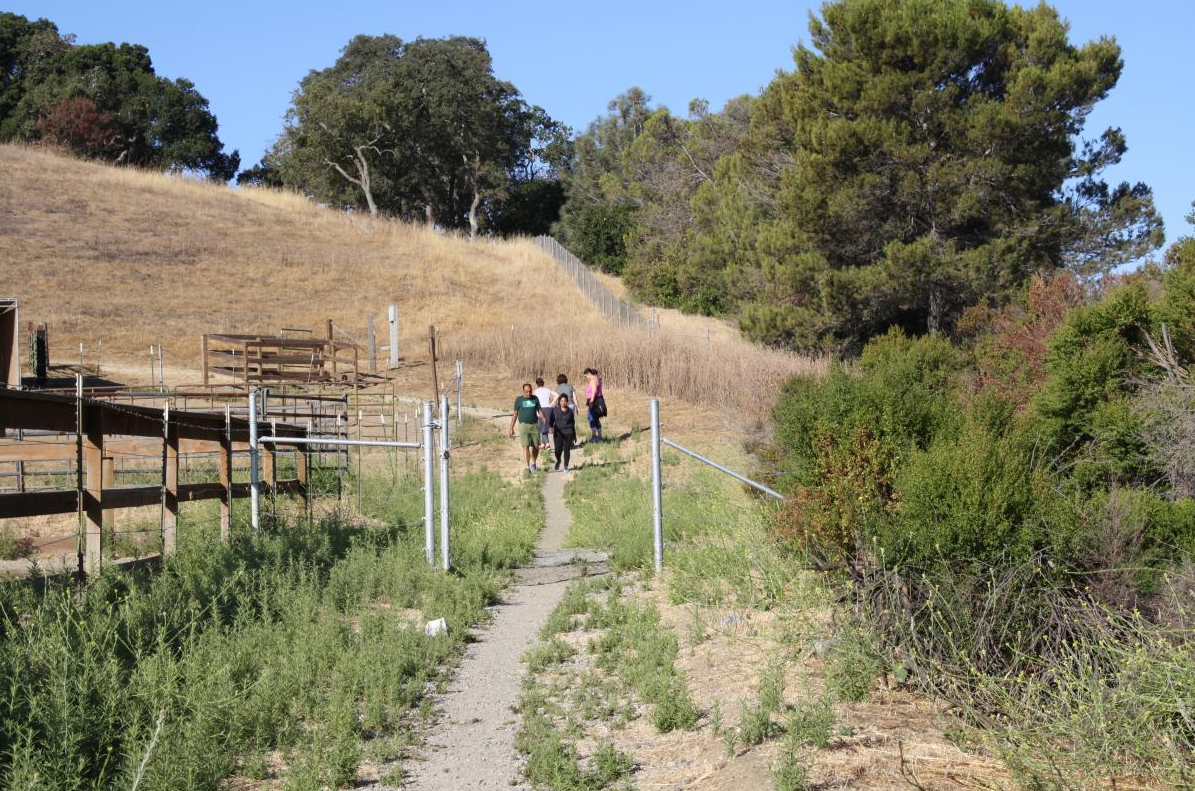
Today, students, faculty, staff and the general public experience Stanford’s beauty through a network of local trails surrounding the main campus. The trail network is comprised of more than 13 miles of multi-use recreational paths surrounding Stanford University. Built by the university, open daily but subject to closure in the evenings, the trails connect with city and county trails, local parks, schools and other destinations for local walkers, joggers and bicyclists.
Many points on the trails give glimpses of Stanford and the Bay Area as they were 125 years ago. Hikers and cyclists breathe in the aromas of oak duff and grass. Hawks circle overhead. Occasional cattle fences remain from the days of intensive grazing. Other points on the trails offer grand views of San Francisco, the East Bay and beyond.
I’ve dealt with complete brain meltdown with trips to the climbing wall (Stanford has two) and long sweaty slogs over the hills.
— Jacob Fenton, John S. Knight Fellow ’16
The Dish recreational route is a popular 3.2-mile looping path southwest of Stanford’s main campus. The Dish area, named after the 150-foot radio telescope at its summit, serves both Stanford and the surrounding communities through academic programs, environmental restoration, habitat conservation and, lastly, recreation. It’s used by up to 600,000 people each year.
The 1.9-mile Matadero Creek Trail was built by Stanford in 2011 and is also open to the public. It offers a scenic respite from the nearby thoroughfares of Page Mill Road and Foothill Expressway. It appears as Trail S-1 in the Santa Clara County Trails Master Plan. Near the S1 trail, on Coyote Hill Road, are 33 easily accessed parking spaces designed specifically for area hikers.
The 3.4-mile Stanford Perimeter Trail was completed in April 2016. Hugging the campus on the south and east, it is part of a set of regional biking and hiking trails designed to connect recreational areas in the foothills to those in the Palo Alto Baylands. It also provides a safer school commute for students at three K-12 campuses along the route.
More than 300 people celebrated Stanford’s 125th anniversary and the completion of the new Perimeter Trail with an early-morning trails walk July 23, 2016. They took home trail brochures and wildflower seeds to commemorate the day.


